Saturday, August 30, 2008

Is Faster Faster?


I did basically the same ride as last Saturday. I started out by going out to Sierra and Summit in Fontana before heading back to the coffee shop. I then did the medium ride (basically go up to Padua and Mt Baldy and then turn around) I was feeling fairly frisky, and I noticed that the faster rider didn't catch us until Eitwanda and Baseline.
So I was surprised when I got back and found my time was slower than last week :( granted I did slow down to see if a couple of people with flats and steered some folks back on the right course. But I think the real reason was that last week my computer decided not to give any reading going up Benson. I had put on new tape and moved the position of the display, which seemed to solve the problem with interference.
Well you can't have everything.

Saturday, August 16, 2008

Do a Brevet, get a medal!


Well today I did brevet. Actually this is a special one. Today is the 10th anniversary of Randonneurs USA and if you did a brevet today, you were eligible for a medal.
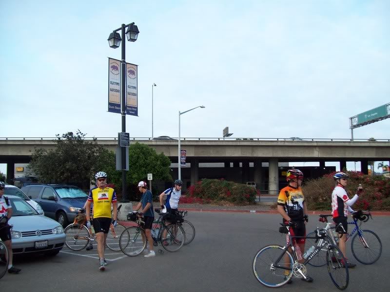
The only thing was that It was in San Diego . I had to get started at 4AM. I did get there a little early, so I found some place to have breakfast. I then moseyed over to the parking lot and got everything ready. You could tell it was a special day since there were about 20 riders,usually there's about 7.
We did the warm-up lap around Fiesta Island, before taking off. I was soon at the rear as we climbed up through UCSD and down the grade at Torrey Pines. I ran into some of the faster riders waiting to make everyone was still on the road. This one of thing I really like about brevets, is that everyone watches out for everybody, unlike the usual "Saturday Morning World Championships".
Anyway, back to the positive! I chatted with them until I missed a light in Carlsbad. I took advantage of my loneliness to snap a photo.
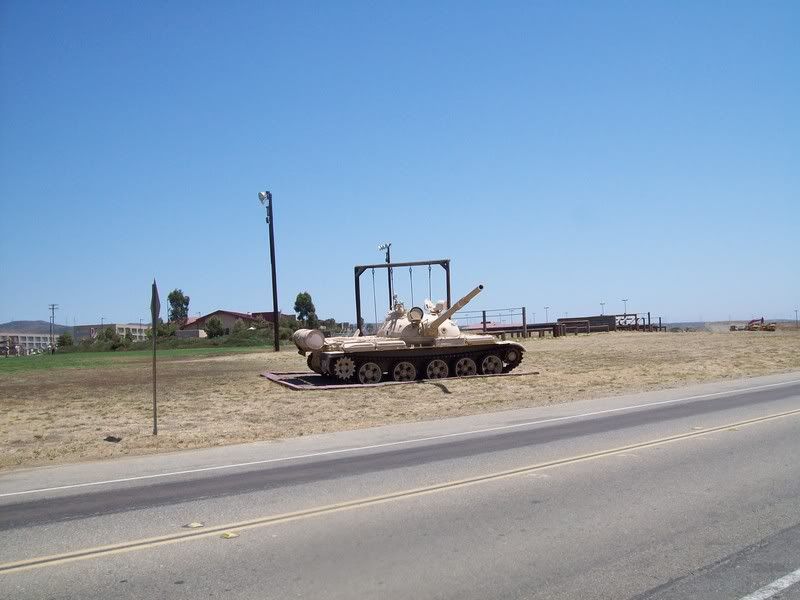
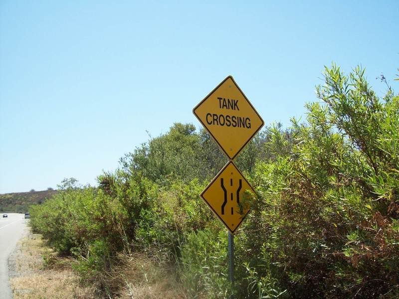
At Oceanside, you have an option. You can either ride the shoulder of Interstate 5 through Camp Pendleton, or ride through Camp Pendleton if you show the guard an ID . I usually like riding through the base, although I do wonder about the "Tank Crossing" signs and the one directing Ambulances to the various live fire ranges.
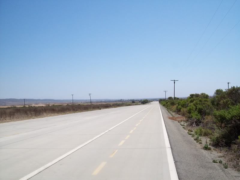
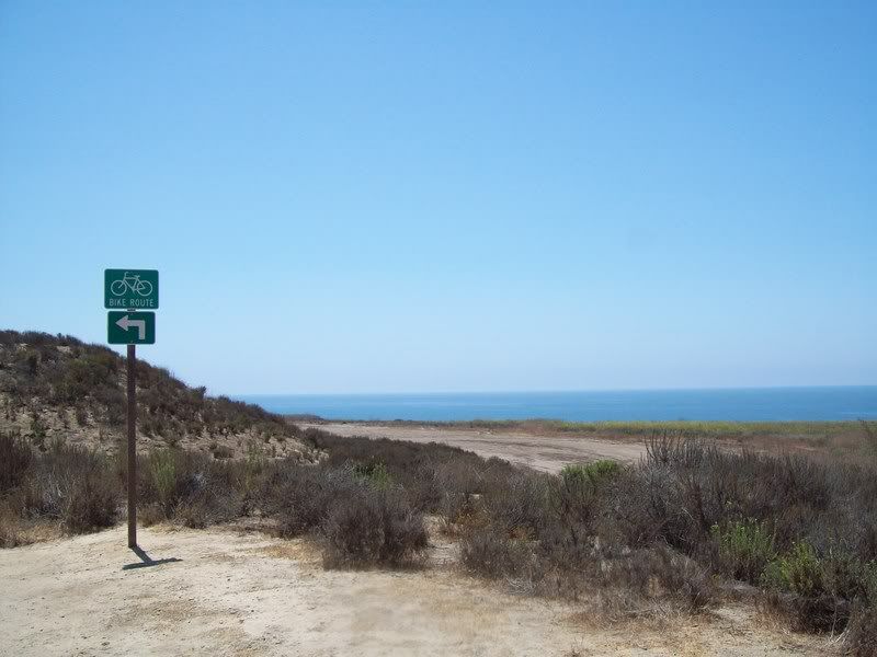
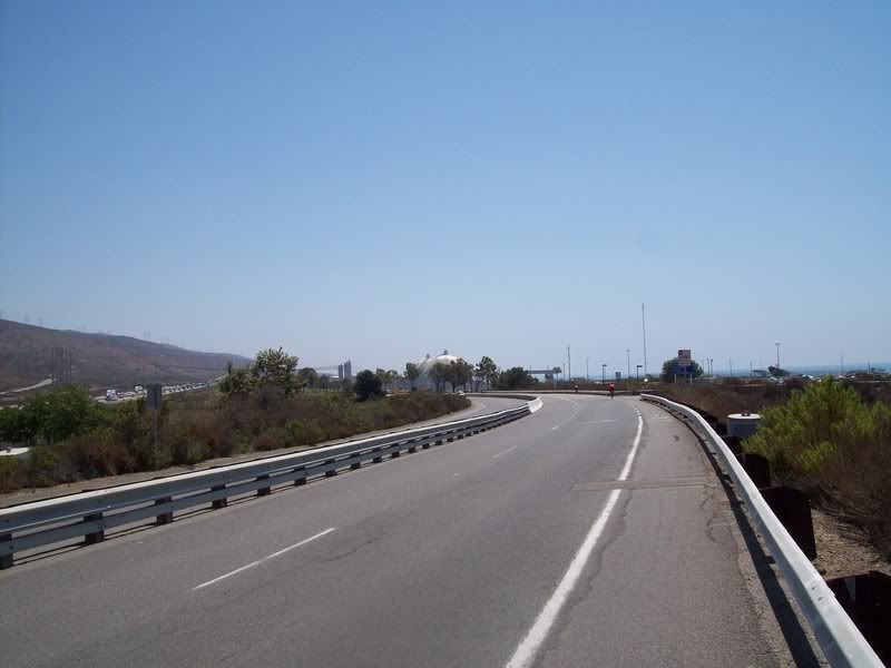
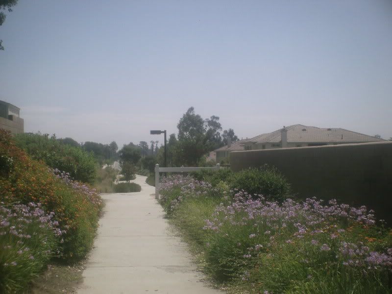
It takes about 7 miles to get through the base. You then spend most of the rest of time on old abandoned highway 101. Nothing Like a 6 lane wide bike path! it's also part of San Onofre State Beach(and you get to go by San Onofre Nuclear Reactor). I stopped at the Control in San Clemente, which was next to Carl's Jr(Hardee's to folks back east) I got my card stamped had lunch, and headed back out.
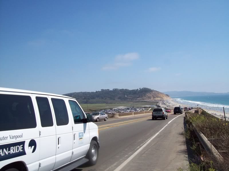
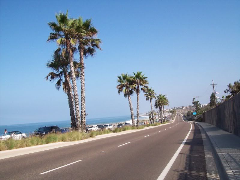
Then the fun began. going through Oceanside, the traffic was bumper to bumper with no bike lane. The bike lane picked up in Carlsbad, but people were double parking on it to get to the beach. This lead to it swarming with Police cars and Tow trucks. I was think I need to re-fuel before Torry Pines (did I mention I had a Hammer Gel flask spill all over my bag, so I only had instead my normal two?) I passed by a 7-eleven in Encinatas, and had a Gatorade. I stopped before Torrey Pines to take a picture ( you can only see the first half). it's about 7% for a mile. I made it up with no problems and was soon on the bike path that takes you to Mission Bay Drive. I got on Mission Bay drive and found myself in the middle of a police pursuit. What a day!
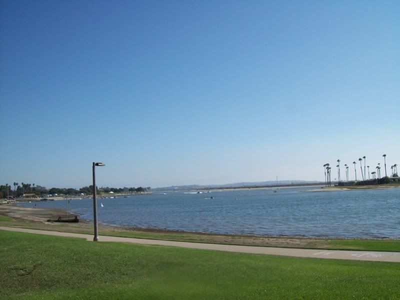
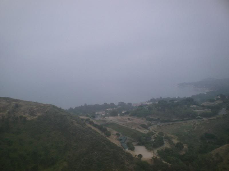
I stopped to take a picture of Mission Bay. Things got better, as Mike (our RBA, Regional Brevet Administrator) had a medal waiting for me. I had registered early enough That he could pre-ordered mine. He also had some pizza and sodas. we talked about If would be willing to be an RBA for the Inland Empire (the name of the area I live in) I'm going to have to think on that.
I was going to by the outlet mall at Lake Elsinore, but decided that I had enough excitement for one day.

Saturday, August 02, 2008

a more popularie bike ride


In case you're wondering, a populaire is like a brevet, but only less so. They're usually only 100Km in length.
We had have been talking about doing ,and since most folks want to go into the mountains, I design a route that went into the mountains , specifically Lytle Creek Road. The n=only problem was where to afterwards. We decided to go through Rialto to Riverside before returning.
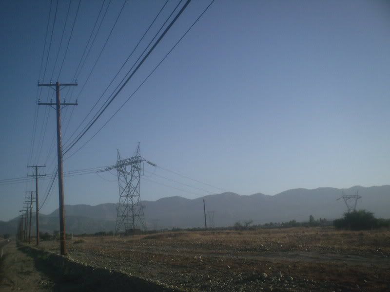
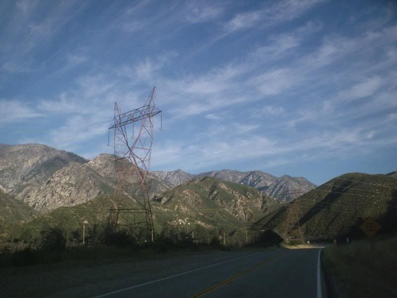
since I was starting from home, and didn't want to do the climb to Lytle Creek on a hot day., i went down up neely's corner before heading down. on the sceond from the bottom photo, the ridge in the background is the San Andreas fault. The ride through Rialto wasn't as bad as I had thought, but traffic and safety wise. Bloomington was a lot more bumpy, but manageable.
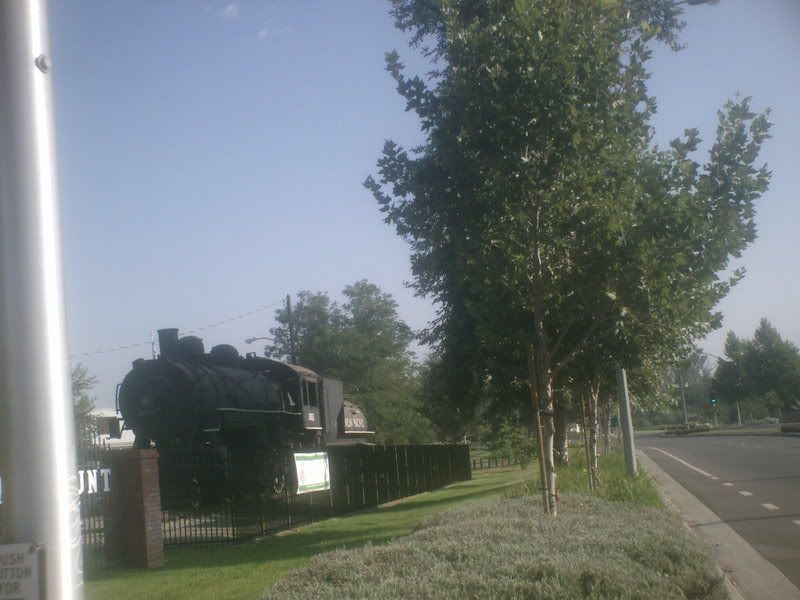
Once I crossed the Santa Ana into the City of Riverside, I started looking for a place to have a Control. Bruce had suggested the park (where the locomotive is), but I was looking for people to Restock. I soon found a shopping center with a CVS and a Starbucks - problem solved. I stopped and had a Gatorade Tiger. Mr woods must have some strange tastes, as I didn't care for the flavor and he apparently selected them.
enough with the negative!
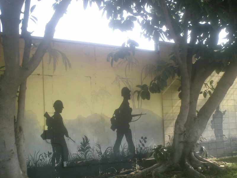
I saw a neat hotel on the way back! and a nice view of the bridge to Mt Rubidox. I was going along Mission Blvd and saw the mural on the vfw post.
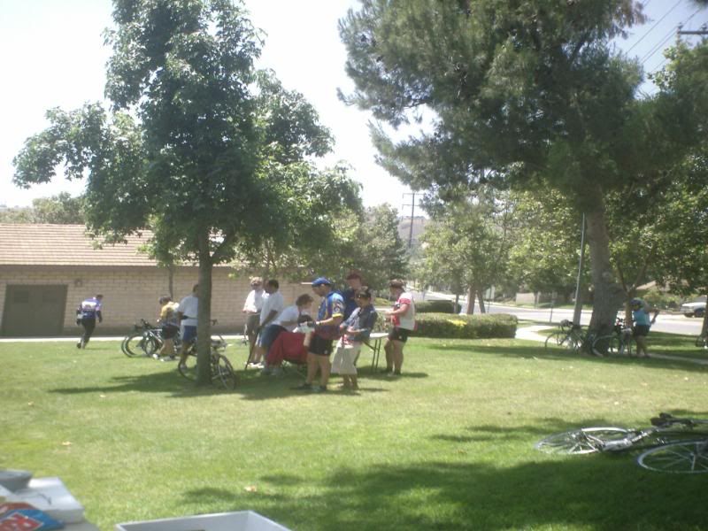
I then tried a route around the construction on Etiwanda Ave before heading to coffee shop . it worked fine, and I got here just as the folks doing the short route had pulled in. I sat and socialized for a while before Heading to REI to get a tire and going home (where I had a Gatorade rain - much better!)

Saturday, July 19, 2008

for the best performance, we take energy from exhaust and recycle it...


Well, today I rode another brevet. Only this time, I did the same route as I did in January. Since I was doing this a permanent, I can count the miles,( I wouldn't be bale to be otherwise)
The weather forecast called for a marine layer along the coast, but burning off by midday. I noticed that I had to start using my windshield wipers when I went past downtown LA. not a good sign.
I got there a little early. I would have gone ahead and started, but I needed to go to the bathroom really bad. So I waited for Starbucks to open. and waited. Finally, I went to Raplhs' (a supermarket).
one thing I did that you probably shouldn't do is that I rode this in new shorts and a new helmet. The shorts worked out great, but the helmet had some issues (ironically, this is second on of that model I've had. I can't recall the other one giving me problems.
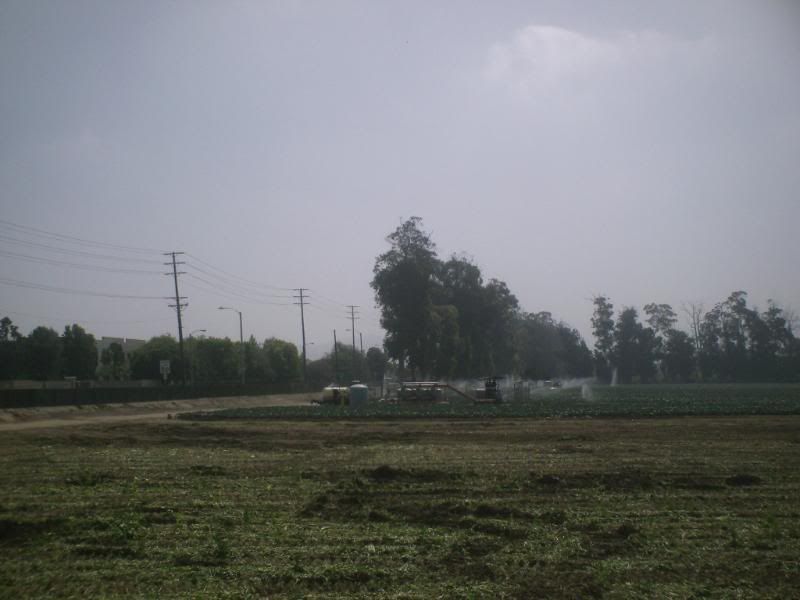
So I was pedaling down PCH in the clouds and making good time. I took a break in Port Hueneme to photograph a sod field(why? beats me!)I also stopped at the second control. One thing that the route's owner, Greg Jones, did differently was that he did not specify a specific store for the control, but rather find a store near the corner of blah blah and whatisit. So I had a choice of Jack in the box, a liquor store, or a grocery store . I took the grocery store.
I continued to pedal. It took me a while to get used to the traffic passing on the 101 ( for about 2 miles, you ride on the shoulder of a freeway). on the climb up rincon road, I picked up a goathead thorn on my front tire. I decided to wait till the top to pull it out. I was soon in Carpinteria. I had my choice of Starbucks(caffeine does wonderful things to my blood pressure), an Albertson's, or an AM/PM I choose my old standby, AM/PM.
After eating my lunch, I noticed my front tire was flat. Curse you goathead!(where's Steve when we need him?)I fixed , but I noticed a cute bike shop on the way back. So I stopped, got a spare tube, and admired the vintage Peugeot the owner was restoring.
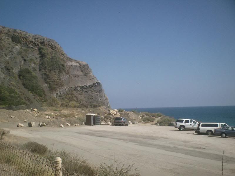
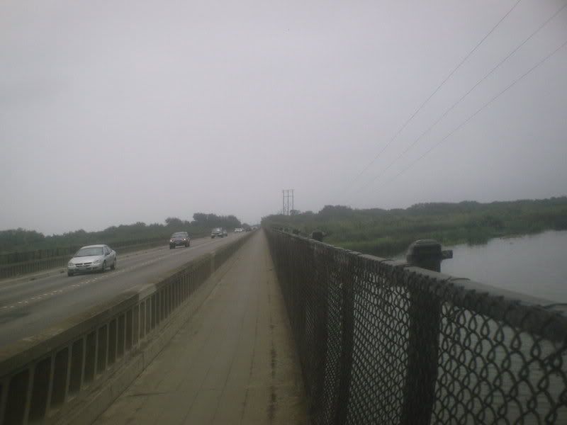
Since I was back by Point Mugu, I decided to do some equal service time by snapping a pic of the "Screaming Eagle" sign on the 101. , plus I took some pics along the freeway, and of favorite island( which I learned is named mussel shoals) I also took of the metal grated bridge you have to ride over (fun).
Speaking of fun, I discover that not only the clouds not burn off, but I was fighting a wind from an unexpected direction (the south).
I soon arrived at control in Port Hueneme. I usually like Convenience or grocery stores, but I all I could find was a Subway or Wendy's. I took the Subway. After walking out, I found the convenience store.
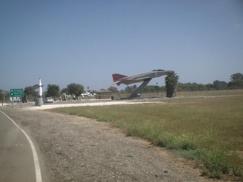
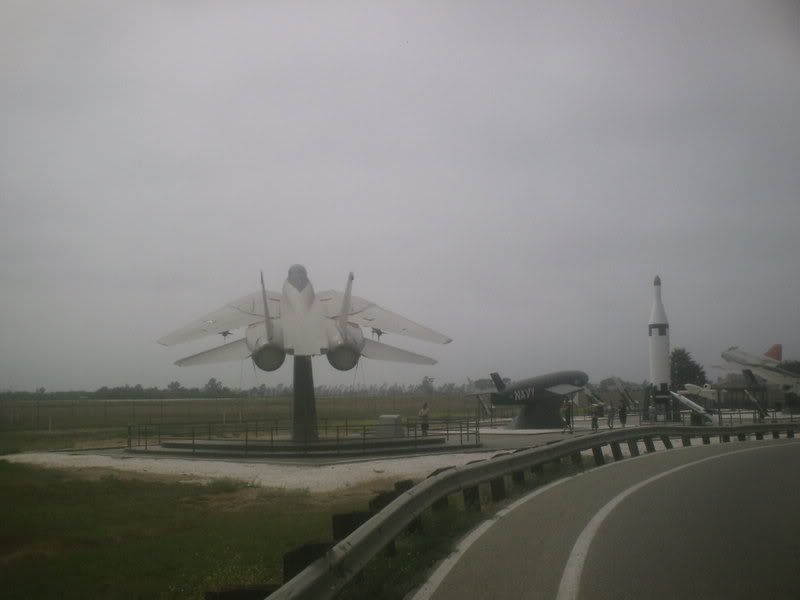
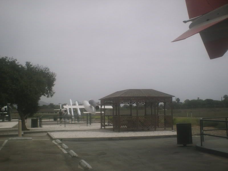
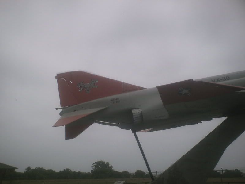
I stopped at the display at the NAS. I admit the first time I saw , I was a bit confused. I thought that all Tomcats had the "Jolly Rodger" insignia on their tails=(from "Top Gun" and "the final Countdown") Turns out, each squadron has their own insignia. I learned that the Squadron based at Point Mugu were/ are The Vampires and The Bloodhounds. So I had to see what exactly the art was. Both Planes are Bloodhounds (The squadron specializes in electronic warfare)
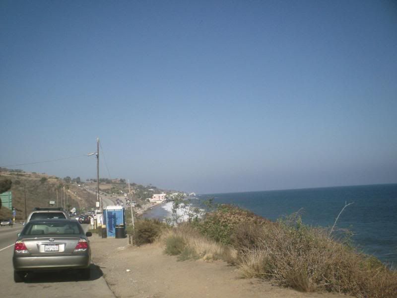
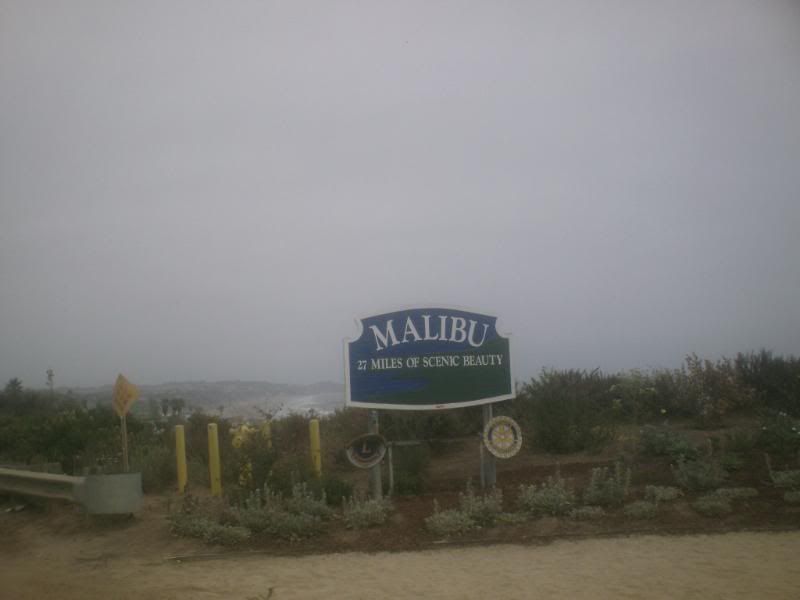
Being Malibu I was passed by a Rolls-Royce on the way back. for being a cloudy day the beaches were full.
On benefit to this route is that you the final big hill by Pepperdine University by walking the bike for little bit , and then taking a side street. While on the street, I thought I heard a jet plane. It sounded awfully low. it was a Ferrari(yes, this is Malibu). after getting a receipt(and the sun cam when I was putting the bike in the car(A Ford Focus), I decide to head to the 101 to go back. I stopped in Calabasas for supper, and soon got in a jam. A trash truck had broken down.
But a great day to do a ramble on the bike!

Saturday, June 28, 2008

The Steve "Crash" Wagner memorial Brevet


about 2 years ago , one of my friends in Pennsylvania passed away. This week, they had a memorial ride for Him. Since I could not get to Pa I decided to dedicate my double metric at the La Wheelmen's Grand Tour to him.
We started by climbing a hill. It wasn't bad but I should have gotten it into my granny - (Yes Steve, I'll pay for it later)we were on PCH for about 4 miles before we turned on to Latigo Canyon Rd. This was fun if you like going from Sea Level to about 2,000 feet in 6 miles. We then did more and more climbing , There was some descending, but not nearly enough. We finally got on to Westlake road, we lost about 1,000 feet in 4 miles This road sacred the Bejesus of my when I did Crusin the Conejo (Steve would insist that I use a Four letter word as an adjective, but it's my ride and I can curse if want to, curse if want to.. You would curse too if it happened to you!)
Where were we? Oh yes, I was really concerned about not making to the first control on time. we started see the double, triple, and Quadruple Century Riders(see, I'm not that insane!) Brent and Mike Miller said Hi. as well as one other person. It sounded like Tony Troccolli, but I was busy reading the cue sheet (did I mention a lot of folks got lost?).
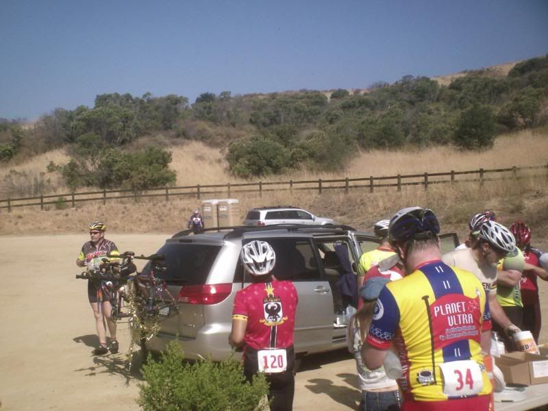
I made to the control with 10 minutes to spare. as My boss would say, (woo & hoo).
I made it down the next big descent on Potrero Road, and passed CSU - Channel Islands. I stopped to a photo of a lettuce field. We then road through Camarillo and came to the second stop in Simi Valley. I stopped and talked to Frank Gutierrez and Enrique (Steve Liked to blab). I made it there with about an hour to spare. Less climbing faster = Jana!.
I did mention the "c" word? well , we started the climbing again. along the way I had to stop at a informational control. They put a sign on a post and you had to write down what it said I took a photo of the first one "Paris" but I didn't think I could get a good exposure of the second one "rando" (gee we must be on a brevet). I was cutting the time short again. I finally got on flat terrain, only to have to deal with the usual gusty headwind coming off the ocean in the afternoon. The road was named Pleasant Valley. Maybe they need to change the name unless you idea of "pleasant" is getting run off the road by giant fruit trucks. We were soon back into Oxnard. The final Control was at a civic center in Port Hueneme . I rode into the parking lot and there was no one there, and I had an hour to spare. It was right next to a park where we had a control at the January brevet so I rode there. no go, I finally rode back by the Civic center and saw folks rolling their bikes out of the door. Yeah!
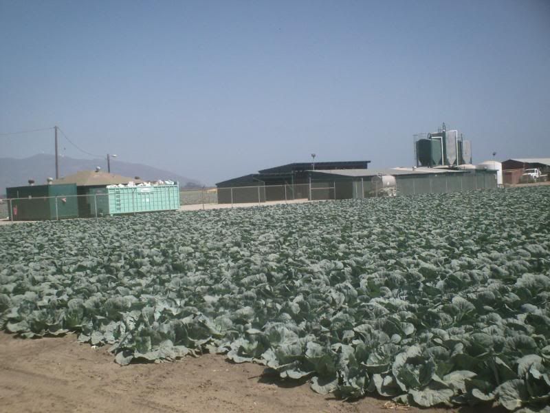
Coming back, I stopped and took photos of a Cabbage field , the Phantom on display at Point Mugu NAS(The plane's a Fellow native of the Show-me state) and Mugu rock. Since I had the wind at my back, I able to make some good progress.
The last six miles on PCH have some very good size rolling hills. In January, I cramped up and had ride very conservatively> No cramps today. as a matter of fact, I managed to make it up some in middle ring (Yes , Steve I need to stop listening to Rabbit). the only problem was that the Sheriff's were towing illegal parked cars at the beach, so i had to avoid about 6 wreckers.
I saw David Nakai on the way back to City Hall in Malibu. I had talked to him at a registration. I went to get my dinner, and they were Frank and Enrique!. they had made a wrong turn and went to Ojai!
I had thou it would take make 12-13 hour to do, I wound up getting it done in about 11
Speaking of wrong turns, I decided to avid the traffic downtown and come back the 10 and 210, I avoided the traffic, but added a lot more miles as I went back trough Oxnard. Nothing ventured , nothing gained.
total Stats
Miles 126.48
time 11:15
avg speed 12.32
max speed 38.44
climbing 8,153

Friday, June 20, 2008

Up , up , and away!


So I've been planning a popularie route. A popularie is a brevet of less than 200 Kilometers. Usually they're 100Km or 62 miles. since everyone has been asking for route through the San Gabriels, I plotted on going up Lytle Creek Canyon and back down to Riverside. It came up to 62 miles. Fantastic!
I was going to ride it today but there was one catch: The temperature right now is 105 (which is good, since the prediction is for 110) and we've plenty of smog, so the weather forecaster were urging everyone to stay inside after 10.
So I decided to start out at 4:30 and turn around at 8am.
I actually got away at 4:45. Most of the route was usual morning route. I actually got the light at Summit and Cherry to trip Yea! The only was a mean dog on Lytle Creek Road before the Valero. Normally it not a problem, but he managed to jump the fence, which meant I had recreate the dog scene from "American Flyers".
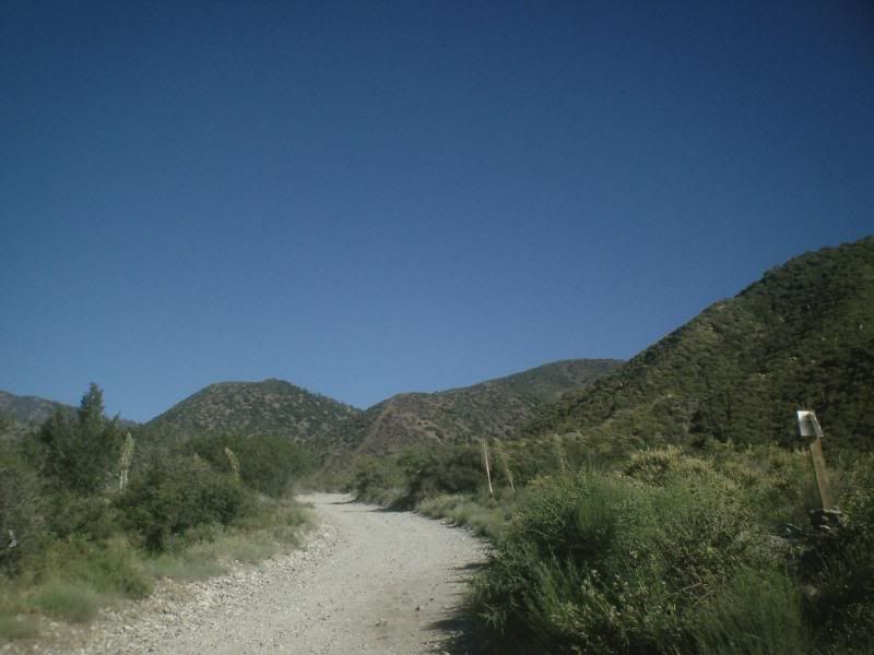
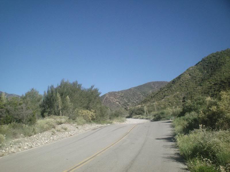
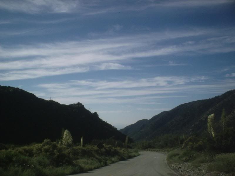
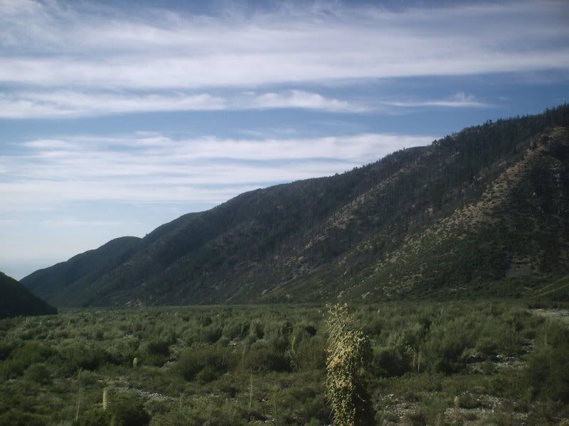
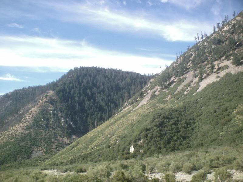
I got to the Valero a little after 6. it was only 82 degree F. I continued up LytLe creek until shortly before the Ranger Station. It was too pretty not to stop.
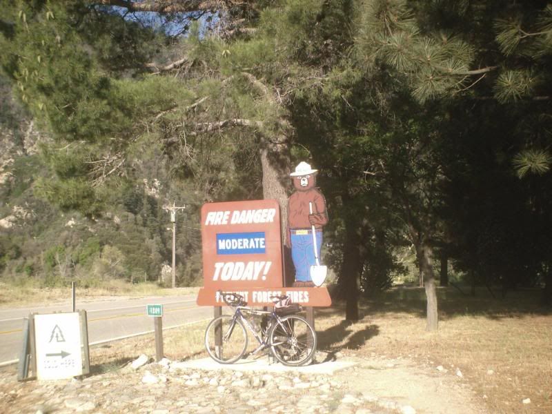
I took the usual Picture at the Ranger Station. and then Continued on. I almost took a Picture at the Fire Station, but didn't.
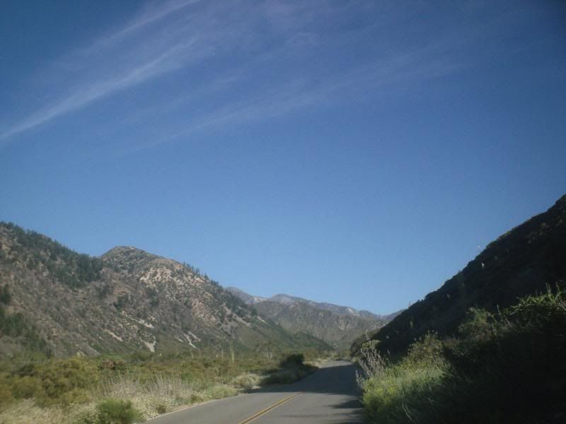
The fire station is where most folks think the pavement ends, which is sad, since they miss the best part of the road. But then, it an 8% grade for 3 1/2 miles, so may be the know something I don't. Anyway decide for yourself.

Eventually you do come to end of the pavement. The road actually does go to the Mt Baldy ski lifts, but I had the wrong bike to do that. And it had cooled down to 79 at 8:15 (Ok so i was so close I decided to stretch my time)
Going was fun! I was doing 30-40 mph. I was wondering what To do about the dog. I decided to go down Sierra to summit and thus avoid having to play "puppy polo". going down Baseline, I was think I could another 10 miles. Then I looked at mt computer. 96 degrees at 9am. I think I'll go home. Still beats working!
I always say that if God (or Life) gives you lemons, you should make Lemonade(maybe I should change my name to Pollyanna) . May you be able to turn your sour citrus Fruit into something neat.
FHS